Unicom
The complete FAA airport database offline, and weather that shows its age.
Get it on Google Play- Status
- Available
- Platforms
- Android
- Airport data
- FAA NASR · 28-day cycle
- Weather
- NWS METAR / TAF
- Price
- Free · no ads · optional tip
What it does
03-
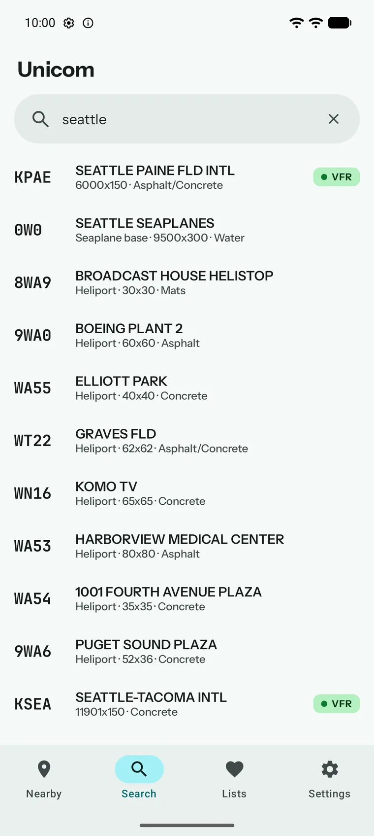
Find any US airport by identifier, name, or city — or by GPS when you just need what is nearby.
-
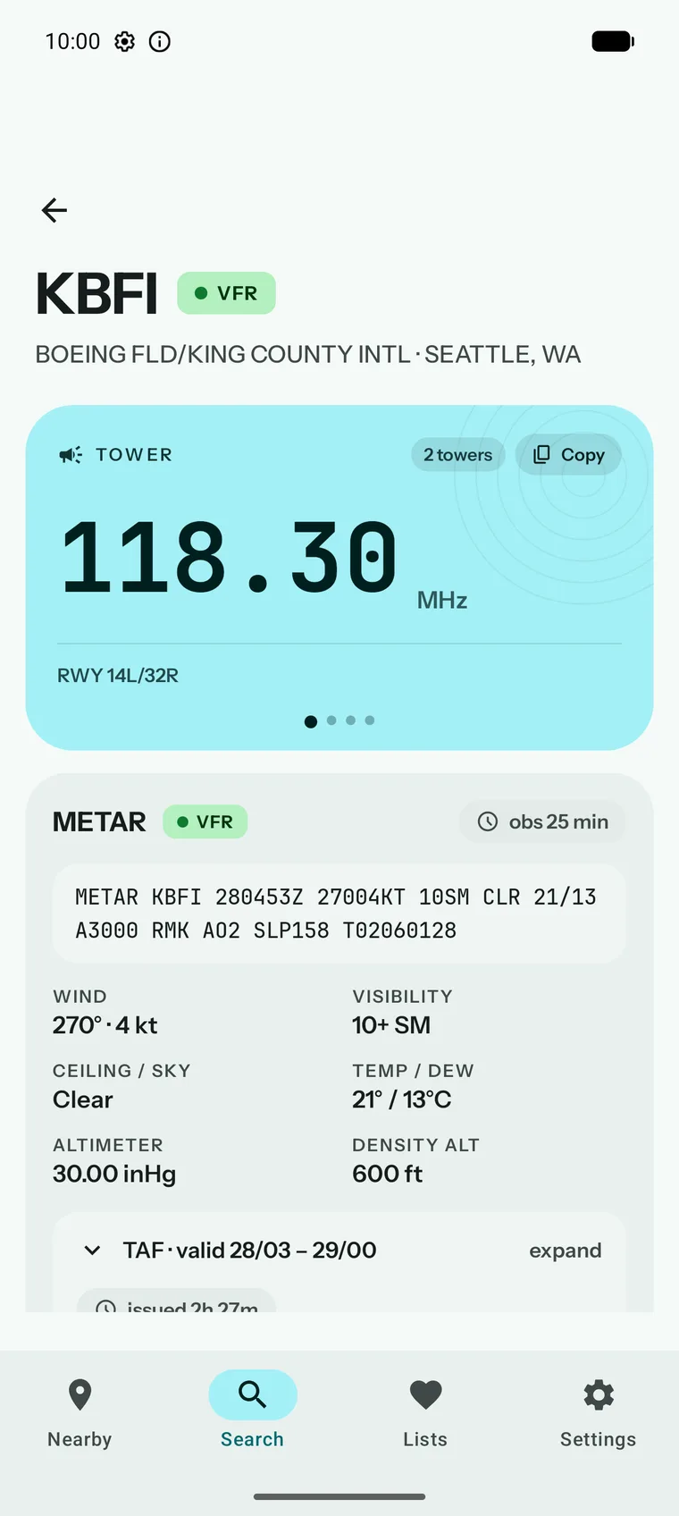
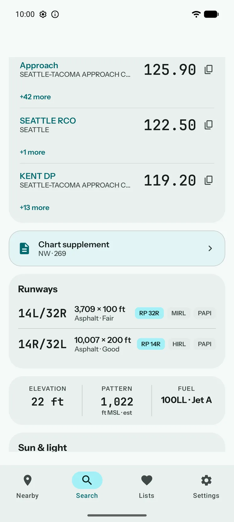
Every frequency grouped, labeled, and one tap from your clipboard, with the complete FAA database already on your phone.
-
Decoded METARs and TAFs that always show their age and never pass cached weather off as current.
Detail
Unicom is the quick-reference companion for the moment you need one fact fast: the CTAF before you switch frequencies, the current observation before you go, one page of a chart supplement on a ramp with no coverage.
The complete FAA airport database ships inside the app and updates on the 28-day NASR cycle. Frequencies, runways, pattern altitudes, elevation, fuel, and remarks all work with airplane mode on. Tower, ground, ATIS, CTAF, UNICOM, and approach frequencies are grouped, labeled, and one tap from a copy to your clipboard. Runway lengths, surfaces, lighting, and right-pattern flags read at a glance. Find airports by GPS, search by identifier, name, or city, or keep curated lists for the fields you actually fly to.
Weather comes from the National Weather Service, decoded with wind, ceiling, visibility, altimeter, and density altitude alongside a flight-category badge. Every observation carries an age chip, so you always know how old it is. Cached weather is clearly marked stale rather than presented as current. The active NASR cycle and its date range are visible in Settings, and updates download automatically on Wi-Fi.
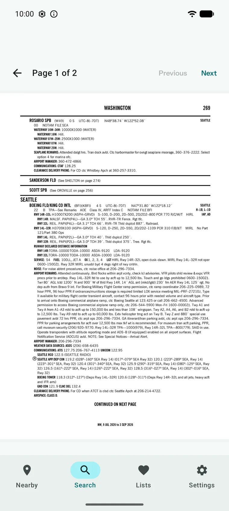
Official FAA chart supplement pages render in the app for every airport with a published entry, and can be pre-downloaded on Wi-Fi so they are there when you are offline.
Unicom is a reference tool for situational awareness on the ground. It is not a substitute for official preflight planning, current charts, or NOTAMs.